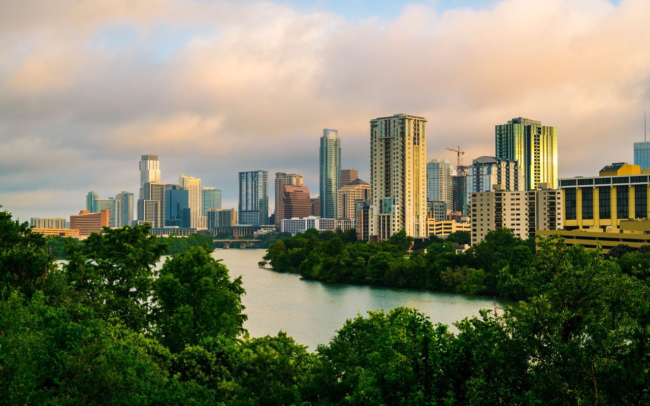
Travis Heights
Travis Heights is actually a combination of three neighborhoods: Swisher’s Addition, Fairview Park, and Travis Heights.
Travis Heights is actually a combination of three neighborhoods: Swisher’s Addition, Fairview Park, and Travis Heights.
Founded in 1912 by Charles Newning and General William Harwood Stacy and sons, Travis Heights is a neighborhood that originally brought more attention to life south of the river during its development in the 1920s. Travis Heights is actually a combination of three neighborhoods: Swisher’s Addition, Fairview Park, and Travis Heights. With a mix of apartments, historic homes and modern builds, the most common finds on the shaded, winding streets are small bungalows. This is a highly desirable neighborhood in south Austin which is seeking to attain admission to the National Register of Historic Places. With its proximity to downtown Austin and SoCo, Travis Heights is attractive to residents who enjoy partaking in all Austin has to offer.
Located south of Lady Bird Lake between I-35 and Congress, the area expanded after the 1910 construction of the Congress Street Bridge. Today, Travis Heights is considered a trendy neighborhood with a diverse population that includes families and young professionals, artists, and musicians. Two city parks in Travis Heights, connected by Blunn Creek Greenbelt, are Big Stacy and Little Stacy named after the area’s founder. Big Stacy Park is actually smaller than Little Stacy Park and features a swimming pool as well as hike and bike trails.
Aside from enjoying nature, residents of Travis Heights enjoy plenty of restaurants and coffee shops as well as shopping at unique, eclectic shops on South Congress Avenue. Whether you’re into live music, vintage clothing, or unique hotspots and photo opportunities, you’ll find your destination.
Austin Independent School District is home to Travis Heights Elementary, Fulmore Middle School, and Travis High School, where the majority of children living in the Travis Heights neighborhood attend.
6,383 people live in Travis Heights, where the median age is 38 and the average individual income is $97,474. Data provided by the U.S. Census Bureau.
Total Population
Median Age
Population Density Population Density This is the number of people per square mile in a neighborhood.
Average individual Income
There's plenty to do around Travis Heights, including shopping, dining, nightlife, parks, and more. Data provided by Walk Score and Yelp.
Explore popular things to do in the area, including Quad Food Mart, Exxon Tiger Mart, and Little Stacy Park.
| Name | Category | Distance | Reviews |
Ratings by
Yelp
|
|---|---|---|---|---|
| Dining · $$$ | 0.68 miles | 1 review | 4/5 stars | |
| Dining · $ | 0.81 miles | 6 reviews | 1.5/5 stars | |
| Active | 0.06 miles | 27 reviews | 4.5/5 stars | |
| Active | 0.69 miles | 4 reviews | 5/5 stars | |
|
|
||||
|
|
||||
|
|
||||
|
|
||||
|
|
||||
|
|
Travis Heights has 3,526 households, with an average household size of 2. Data provided by the U.S. Census Bureau. Here’s what the people living in Travis Heights do for work — and how long it takes them to get there. Data provided by the U.S. Census Bureau. 6,383 people call Travis Heights home. The population density is 5,932 and the largest age group is Data provided by the U.S. Census Bureau.
Total Population
Population Density Population Density This is the number of people per square mile in a neighborhood.
Median Age
Men vs Women
Population by Age Group
0-9 Years
10-17 Years
18-24 Years
25-64 Years
65-74 Years
75+ Years
Education Level
Total Households
Average Household Size
Average individual Income
Households with Children
With Children:
Without Children:
Marital Status
Blue vs White Collar Workers
Blue Collar:
White Collar:
Contact us today for a free consultation to discuss your real estate goals, explore your options, and get answers to your questions. There’s no obligation, no pressure, and absolutely no catch, just helpful guidance to get you started.
Best Of Austin Living Team
1801 S MoPac Expy Ste 100 Austin, TX 78746




